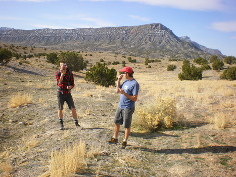
Howell Peak was never high on my ‘to-do’ list- probably just due to lack of hype. Most of the House Range peaks have odd appeal- Notch Peak with its enormous western face, Swasey Peak being the highest in the range, and Tatow Knob with its tower-like appearance. Howell’s lack of press should have drawn me long before, but finally with two willing friends its tractor beam was engaged.
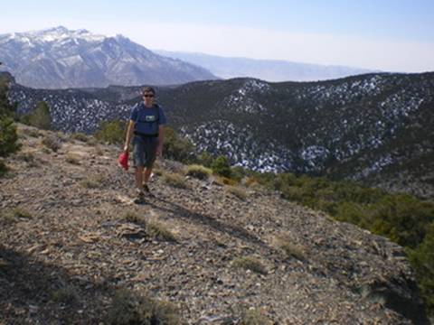
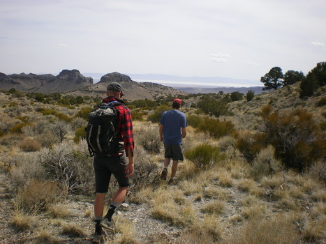
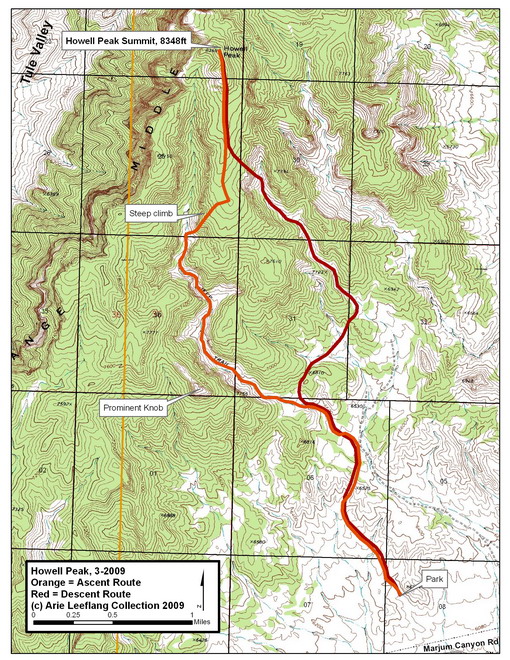
We hadn’t explicitly planned on a Howell ascent and thereby neglected to bring a quality map. A few miles of rallying around on dirt roads led us to what we figured was a good enough trailhead. After about a mile of cross country trekking through badland terrain, we stumbled upon the road that we should have utilized from the beginning. Piecing together terrain with Kelsey’s hand drawn map got us headed in the right direction. The road started as a jeep road, turned to ATV road, which finally turned to little more than a cattle trail. The hiking was easy, and beautiful in its own Great Basin kind of way. After a couple of miles the canyon depths, and about a mile from the peak, we abandoned the trail and struck out east, up the side of the canyon hoping to gain some elevation and views. Five hundred vertical feet of scrambling left us on a wide, plateau-ing ridge leading up to the summit proper.
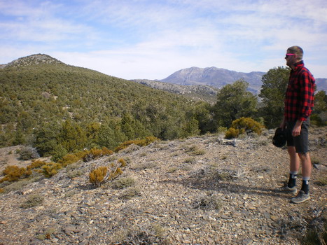
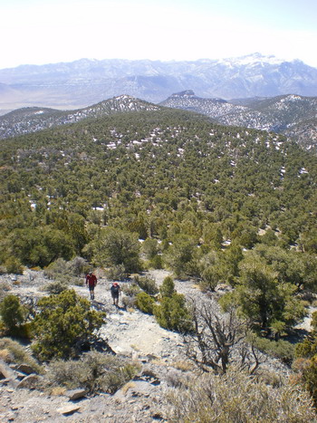
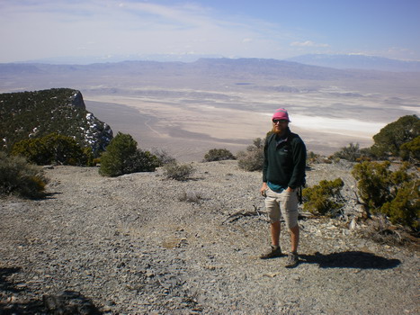
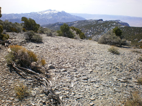
The views were growing steadily more beautiful. With clear skies we were easily able to see out into the Sevier Lake Valley on the east, the expansive Tule Valley to the west, and the depths of Dome Canyon on the north. From here the climbing was a mellow rise through widely spaced pinyon juniper, avoiding snow as best possible, with a short steep rise to the summit. The summit was far from climatic, rounded and covered with PJ, with only a small stack of rocks marking the high point. But, the views were fantastic and you could nearly feel the remoteness in the air.
To descend, we retracted our path back to our steep canyon-wall ascent, and instead of following our ascent, dropped eastward, into a different drainage that we figured would link up at some point. And indeed it did with some minor cross-country trekking. While our lack of detailed maps left us with a few extra miles it actually helped add to an interesting ascent up a neglected summit in one of Utah’s more strange ranges.