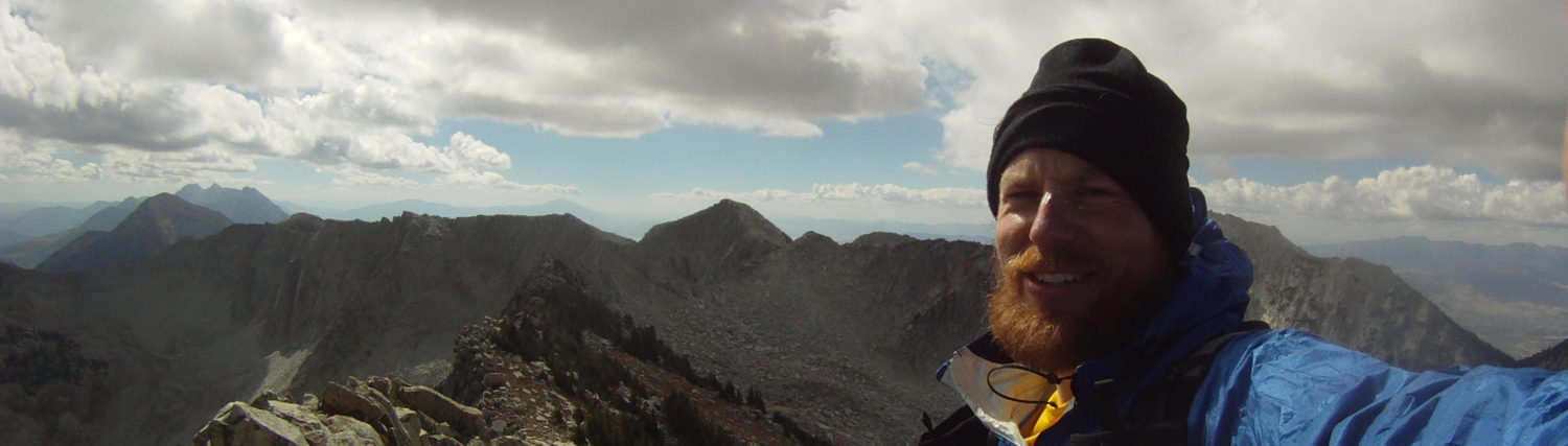
If there’s such a thing as “roadside summit bagging,” this random peak might be first in line. Despite spending a bunch of time in the area doing archaeological work in the 2000s, I had never considered climbing this odd little mountain. In fact, I probably never even really looked at the peak, instead casting my eyes further east to the Guardians and the deeper Zion backcountry. I had seen a picture of someone climbing the peak on IG earlier in the year, and filed it away in my brain for a fun rest-day activity on a future trip. Fresh off a failed attempt on West Temple the day before (too much snow; not enough time) and with only a few hours before needing to roll north, it seemed like the perfect objective.
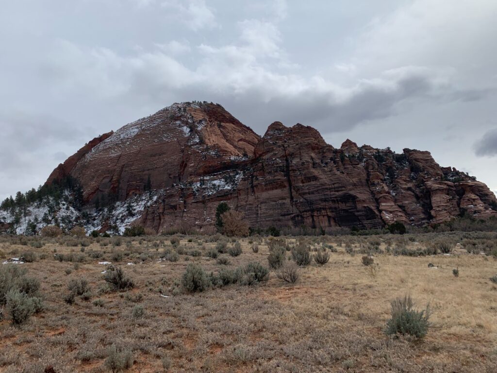
I have to admit that looking at the summit ridge from the highway, it looked a little spooky with snow and some decent exposure, but it turned out to be pretty genial. We parked at a small pullout northwest of the peak and followed an old road (north side of the peak) to where an old structure used to stand, avoiding most of the brush that folk have complained about. We spent some time poking around the moat the surrounds the north and west sides, attempting one gully or the next, but finally finding the correct runnel after two wrong ways.
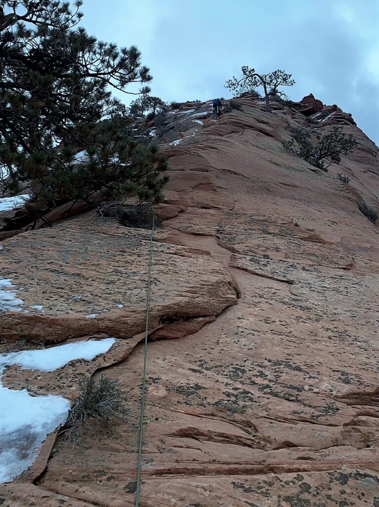
The two initial fourth or fifth class steps to reach the bench below the summit ridge were surprising gems, with a hidden bolt at the top of each to ease descent pains. I don’t know how I feel about such bolts, when piles of natural anchors abound. But the bolts were tidy and well-placed, and perpetual tat is often an eye-sore. The route up to the bench is circuitous, but getting worn enough that with a keen eye, it’s hard to get off-route. Tim and I quickly found ourselves looking up at the fine summit ridge sporting a mostly-clean and dry ribbon of rock between snow patches.
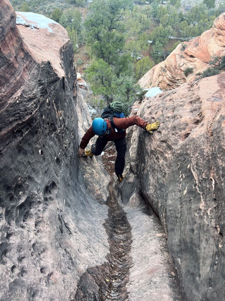
Tim was generous to lead and quickly bounded up the pitch in his running shoes, tying off a bush or two for sad protection. He didn’t blink at the runout but I was more cautious, even following. A large conifer about 120 feet up provided a comfy belay ledge. Climbing in running shoes was mostly straightforward, with an occasional sandy spot. Approach shoes would have been nice, but mine are all so uncomfortable that I had left them in the car. Soon we were unroped and working our way up the fourth class slopes to the summit. These slopes were probably the crux of the route in the current conditions – we occasionally post-holed through snow, then transitioned to rock, then avoided ice, and back to post-holing.
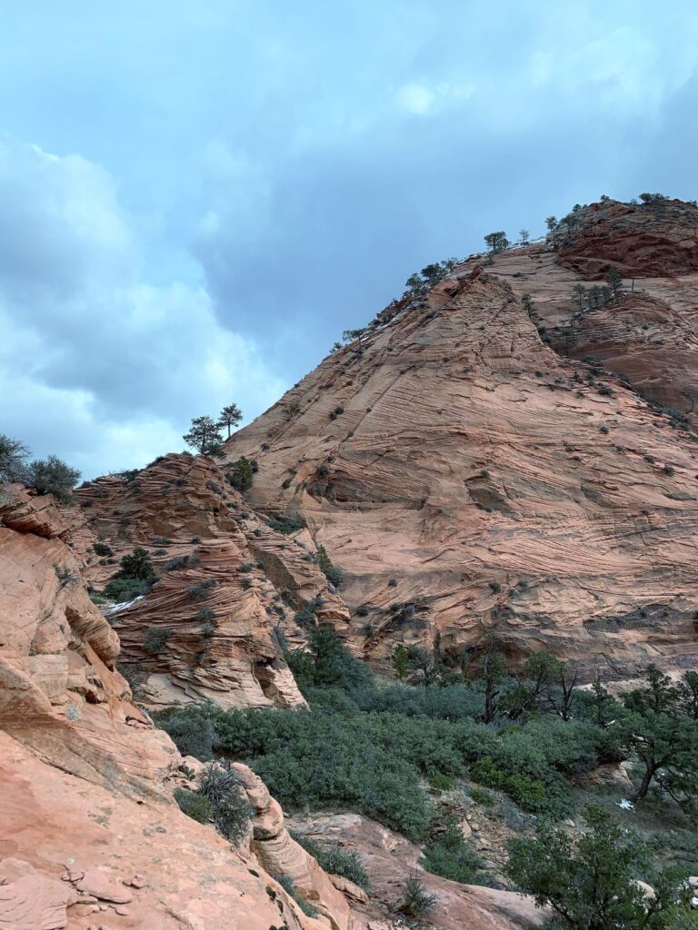
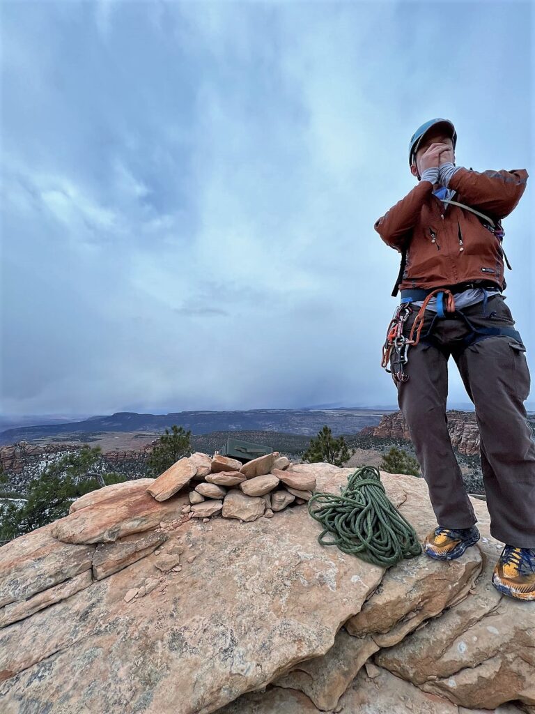
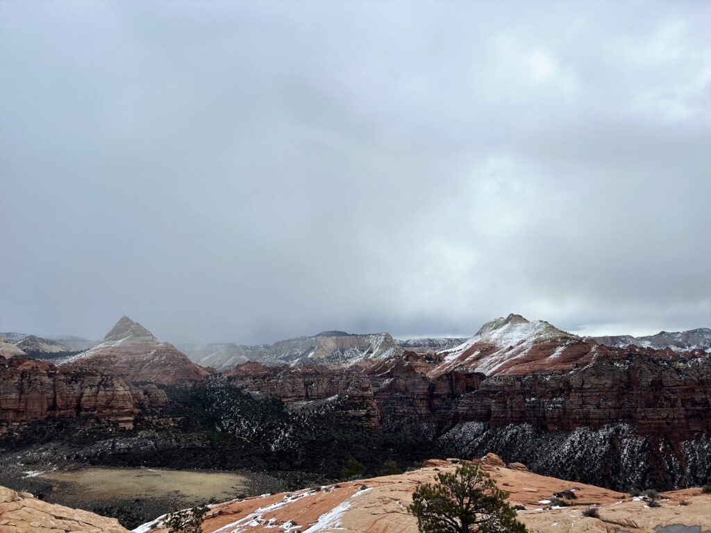
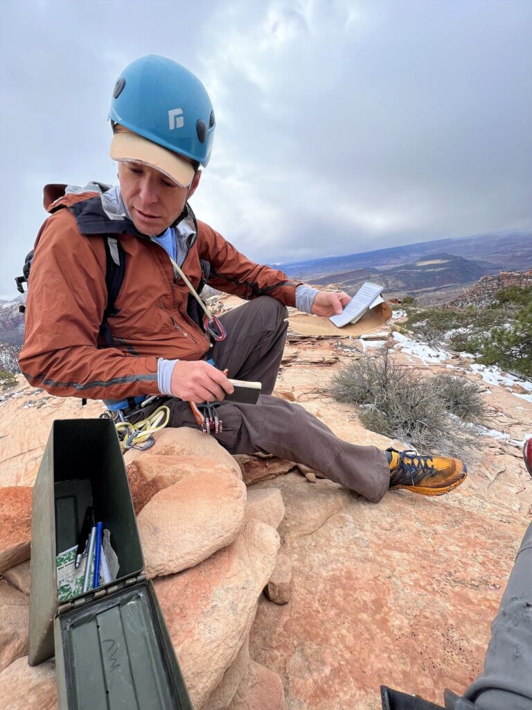
Summit views were unreal. Looking to the south, Kinesava and West Temple beckoned. To the east and north, the Guardians called. All the while, the homely expanse of Cave Valley framed our eventual descent. The summit register showed a few ascents this year. We added our summit notes and I regrettably misspelled a word in pen. Bad form, but maybe only a handful of people will ever read it and maybe only one will know who I am – and hopefully they will chuckle.
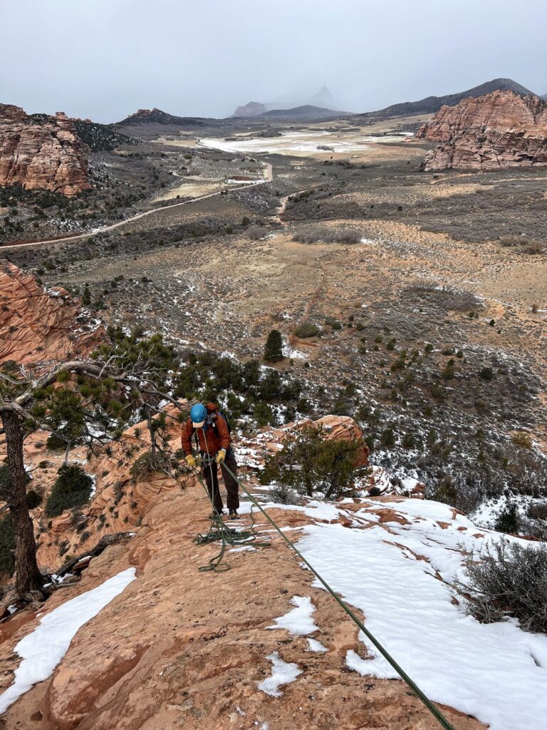
There was a storm brewing in the west, moving its way across Smith Mesa from Toquerville and the temperature was dropping. We quickly rapped the summit pitch from the larger conifer, struggling to manage the rope on such low angle terrain. Our lightweight 60 meter rope (doubled) dropped us nearly to the bottom, but left us scrambling a few tricky moves to the shoulder. A 70 meter rope would have been idea – or commit to using the established brush anchor (webbing and ring) which is more central on the route.
Overall, we found ourselves chuckling with pleasure on this interesting route. It was low commitment, low danger, straightforward, and provided some incredible views of the Kolob area. If this peak was guarded by a longer approach, or four times as high, it would be a five star affair. Even without those, it fills a great niche if you only have a little time and want a quick adventure. I’ll bet someone could do the route round trip in 1:10-1:20hr. But we took our time and spent about 3 hours round trip – and it was nearly pure pleasure.
You are generous. Thanks for the interest and comment 🙂
Arie!!! Love to see that you are still climbing!!
Katie! Good to hear from you. Sorry I Missed this comment! I hope you are well. Sending my best and your crew!