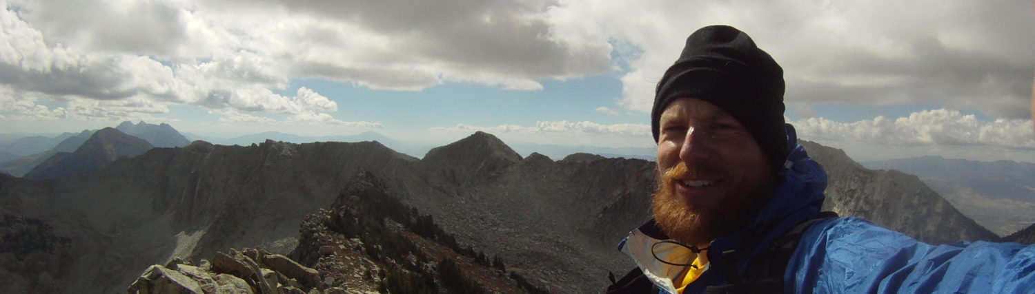
When I lived in Logan in the early 2000’s and worked at the fabled Trailhead gear shop I heard legends of an old race that traversed the Wellsville Range from Scott Datwyler. Scott was the shop owner and an endurance master and I was a young impressionable kid looking for the next adventure. It took a few years, but eventually I made it back and ran the classic traverse starting from the Deep Canyon trailhead, crossing over Mendon Peak, Wellsville Cone, and Box Elder Peak with the near side of Sardine Canyon being our exit.
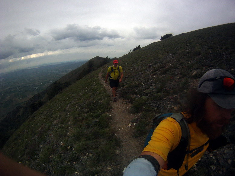
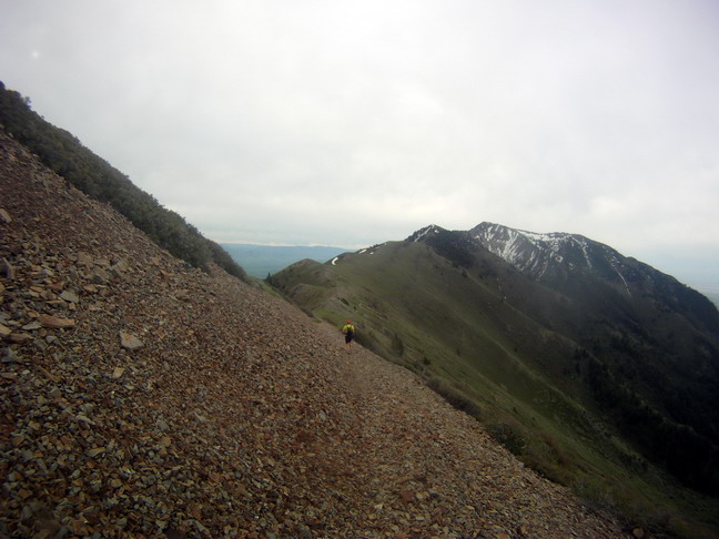
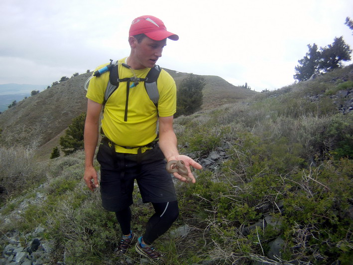
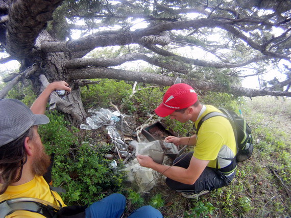
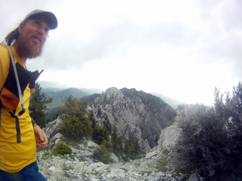
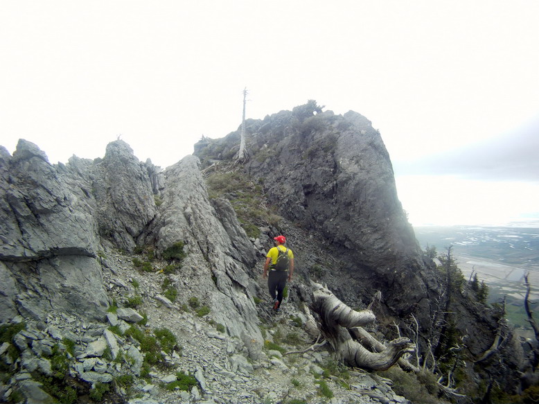
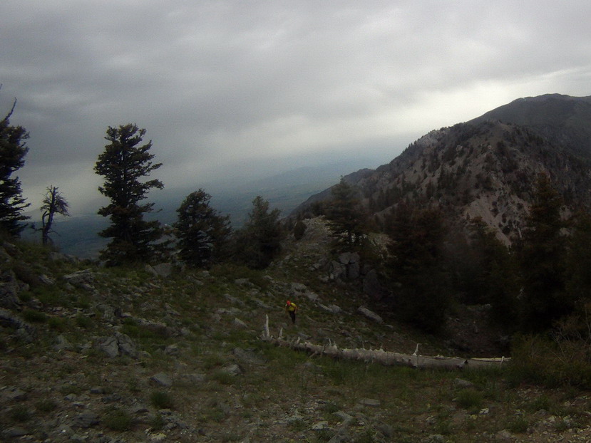
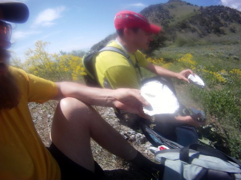
I never thought that was quite good enough and Hunter agreed. We set off to cross most of the range, starting in Deep Canon and ending on US 89 between Mantua and Brigham City. The goal – cross the entire range, doing our best to stay true to the ridgeline. We followed most of that goal – missing the most northern section (north of Mendon Peak) and missing a few sections of ridgeline where the trail was just too good (see first photo below). But the “near” entire traverse ended up being a great adventure. Occasional snow, lots of bushwacking, several snakes, disrupted hornets, and at least a hundred mosquito bites. It was the perfect adventure in one of my favorite parts of the state. I can’t drive Sardine Canyon without admiring the amazing ridgeline that forms the spine of the Wellsville Range without a grin.
Yo Arie! I stumbled across this when researching the Wellsville Traverse. Do you have map and/or gps track?
Same here, I’d be curious to see Arie’s route. Jared, here’s a GPX from my run in 2015 – starting on the far south end between Mantua and Brigham City, and finishing north near Collinston. https://drive.google.com/open?id=1tcSMSv6-srh75Ee02c-JGFVp1lHNv3GQ
A few photos and description: https://www.strava.com/activities/406572984
Noah Howell did something similar years ago but he skipped the far north and south ends of the ridge. https://noahhowell.com/2013/06/25/wellsville-traverse/
Let me know if you’d like any additional beta. I assume you know about Brushy Spring, up near the Cone – it is a lifesaver in an otherwise extremely dry range.
Nice – thanks Erik. I’ll have to upload a map of the route that I previously shared with Jared. We admittedly missed the first (northern) section of the ridge since I was worried about private land issues. We started at Deep Canyon and then stayed true to the ridge until the pipeline crossing just shy of Brigham City Canyon where we dropped south/west to the main canyon. I’d like to go back and go end-to-end (which is sounds like you did – solid!).
And I didn’t know about the spring – that’s great beta. We definitely ran out of water and got eaten by mosquitoes at the end. I’ll check out your GPX – thanks for the share!