Filling that bucket.
My bucket list of GSL islands finally got a little more full with a quick trip out to the distant Dolphin Island in the north arm of the Great Salt Lake. Unlike the bold Stansbury Expedition our trip involved little to no water but seemed to still entail a grand vision of desolation and wilderness.
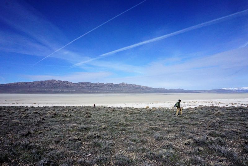
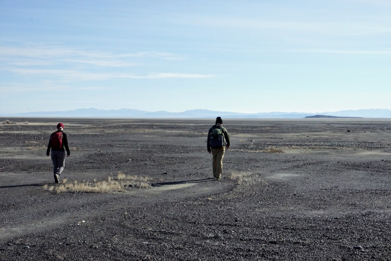
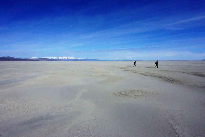
We approached from the north, Snowville and made our way through the Great Basin magic (or waste?) on decent dirt roads, tracking the progress of the Transcontinental Railroad to the west. We crested a small rise west of Crocodile Mountain and the low-lying Dolphin Island came into view. A surreal view, with the steamboat head of Gunnison Island in the distance. The mud flats between the Hogup Range on the west and the Island on the east were an impressive sight – and the thoughts of crossing on foot seemed a little daunting. How much mud?
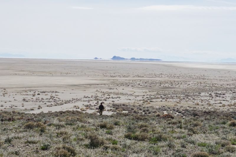
We parked at a point that appeared perfectly perpendicular to the Island and set off through the sagebrush plain to reach the dark (dry) shores of the Great Salt Lake. Initially the travel was smooth, crossing a half mile of coarse gravels until the actual bottom of the lake was reached. For another half mile we slogged through variable mud – avoiding small salty puddles. Things improved significantly as we neared the last mile to the Island which was reflected in our speed. The crossing only took about an hour but felt surreal and ethereal as landmarks on the skyline refused to budge and apparitions appeared and abandoned us in the distance.
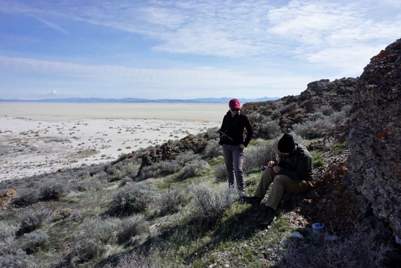
The Island itself was perhaps anticlimactic – except for the magnificent views in all directions. Standing on the head of the Island were the Stansbury crew once stood felt deep – despite the lack of water. When the Stansbury Expedition visited the Island there was over three feet of water surrounding the Island. Only water in the distance now.
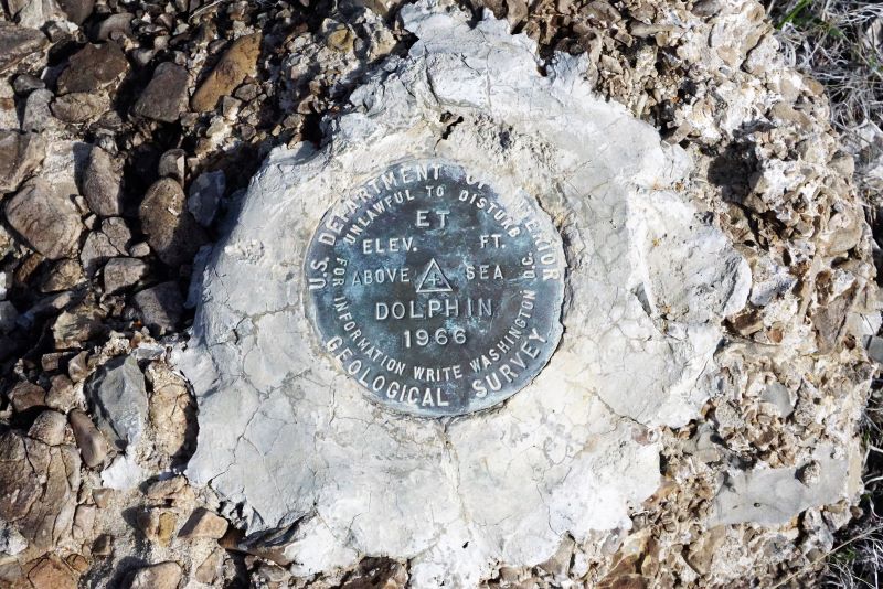
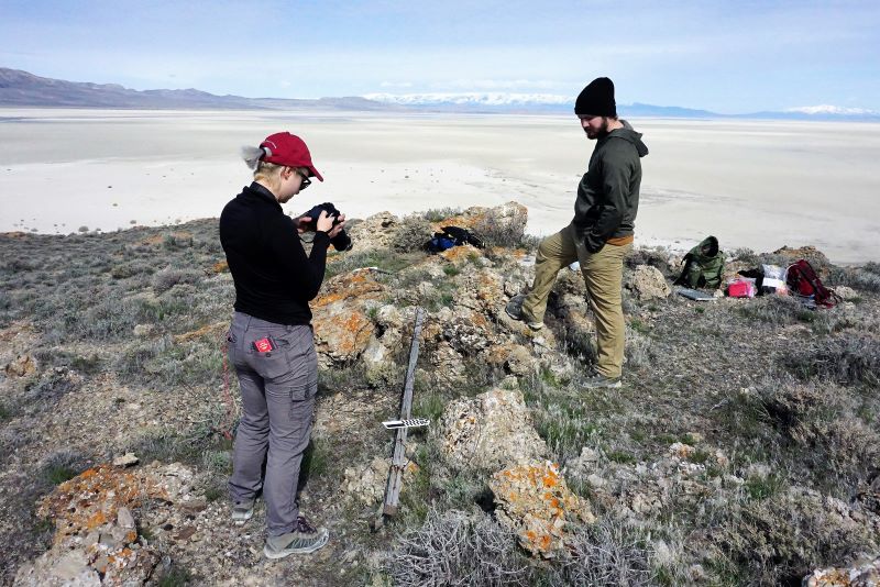
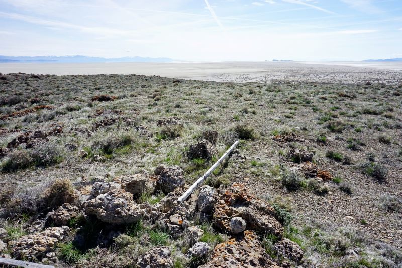
We made quick work to complete a limited archaeological survey and record the remains of one of Stansbury’s triangulation station. Was also stumbled on a geocache and made our offerings – only two other sojourners listed over the past three years.
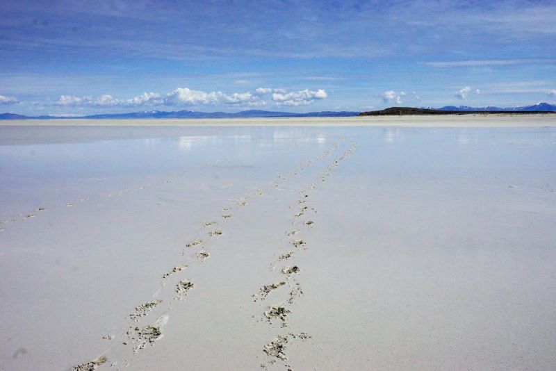
The return trek was far longer than the approach. We launched from a slightly different angle and within a mile hit a half-mile long small lake of salt and had to divert. We had some significant fear the day’s wind had blown in a stretch of the Great Salt Lake and we’d have to wade (swim?!) back to the car. But alas – it was only the residue from the previous weekend’s rain and snow.
When we left the Island I swore I’d never need to return. But back home, happily away from the mud, I’m anxious to return. Perhaps to spend the night and hopefully see the same stars the the Stansbury Expedition enjoyed. It’s only three miles of mud – right?!