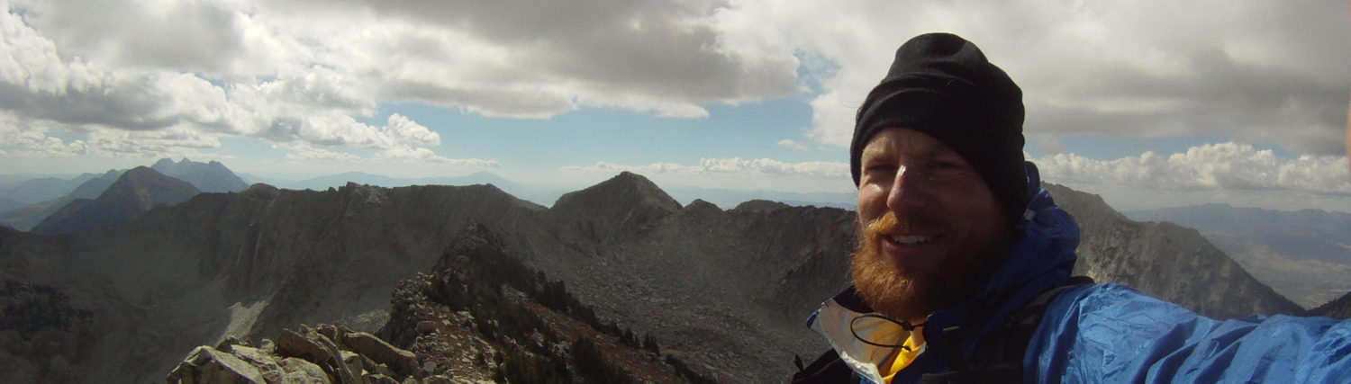
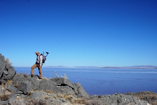
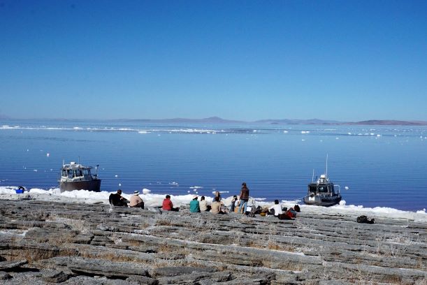
In October 2018 I had the incredible opportunity to travel with the Great Salt Lake Institute and the Utah Division of Wildlife Resources to the remote Gunnison Island in the North Arm of the Great Salt Lake. The Island is a pelican rookery and access is extremely limited. Pretty much no one is allowed within a mile (including by air) of the Island unless you are with DWR and prepared to wrestle pelicans in the name of science.
Many thanks to Utah DWR letting us tag along on their fall Gunnison Island trip. And kudos to all their hard work managing the pelican habitat and the migrant avian population. Their job is thankless and important. So thank you DWR biologists 🙂
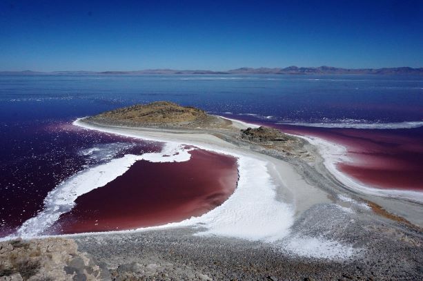
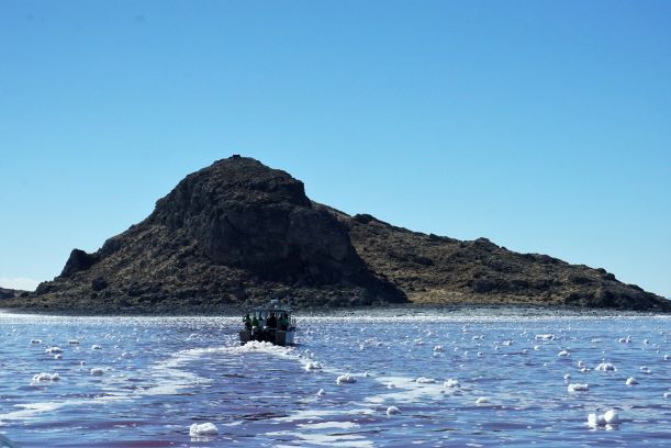
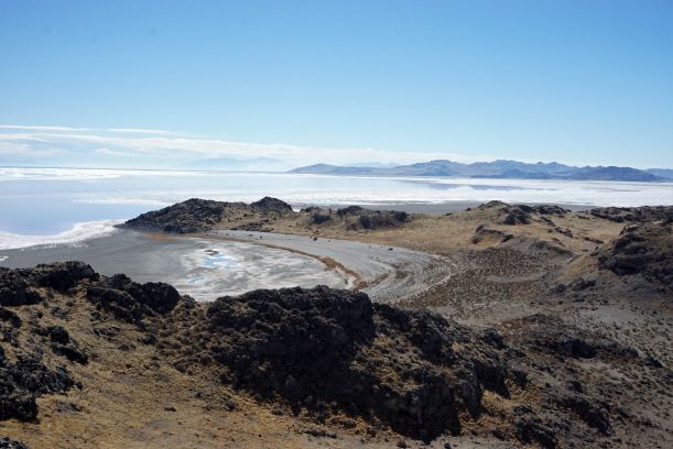
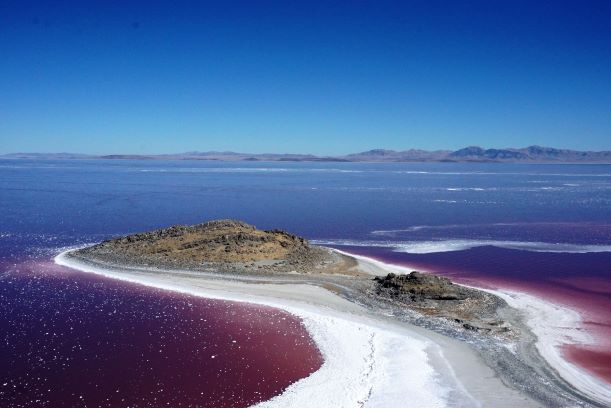
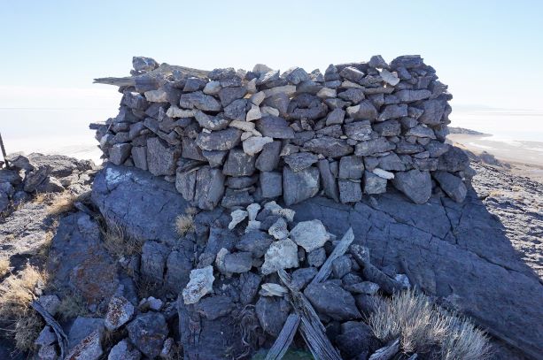
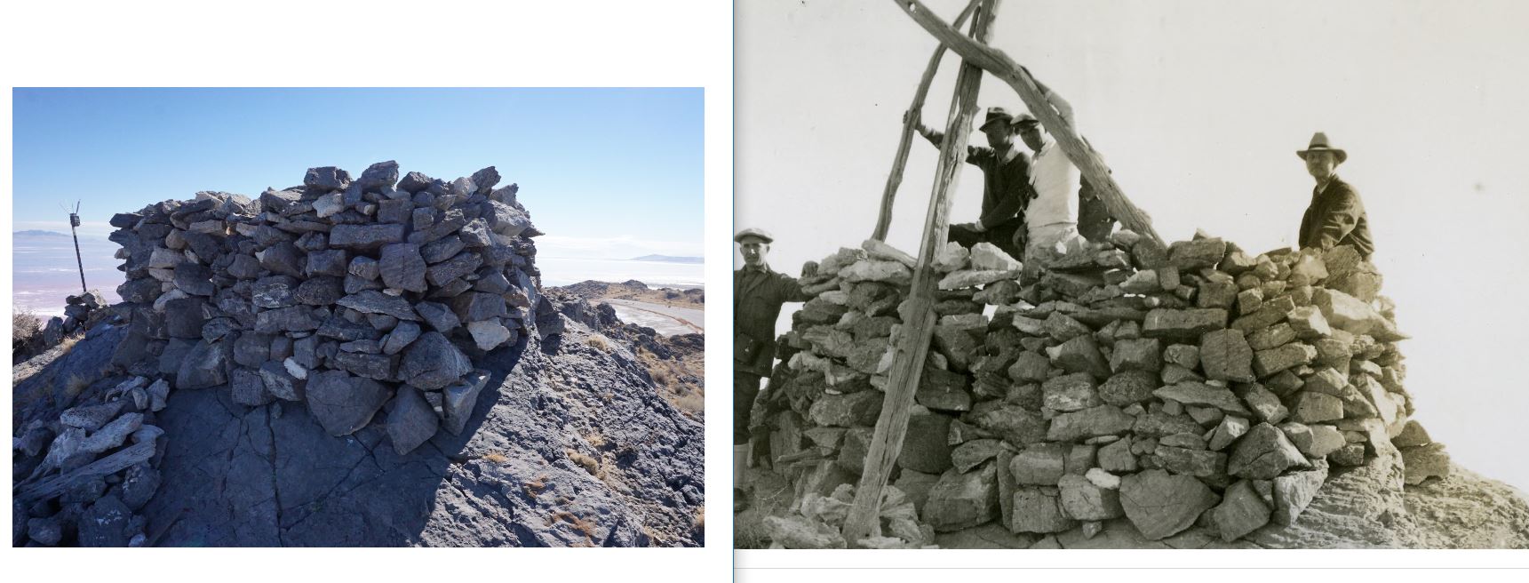
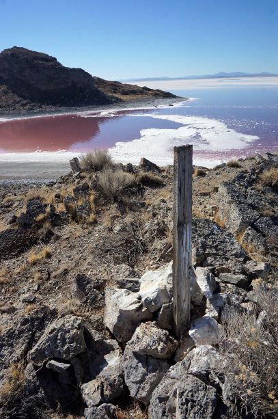
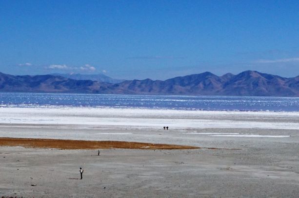
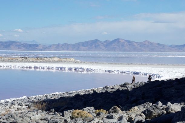
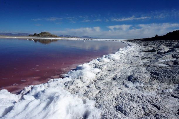
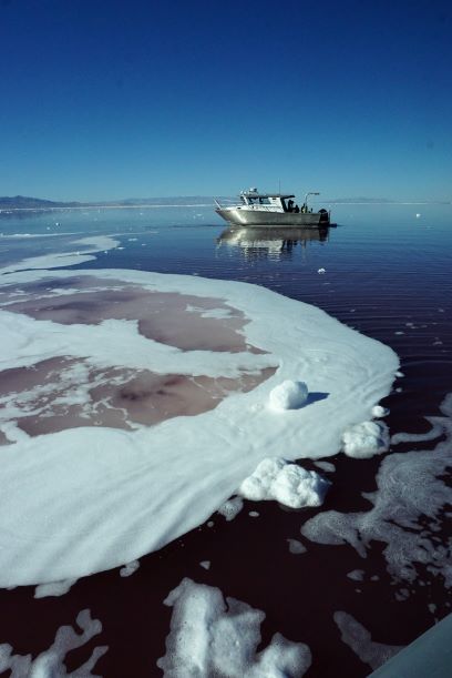
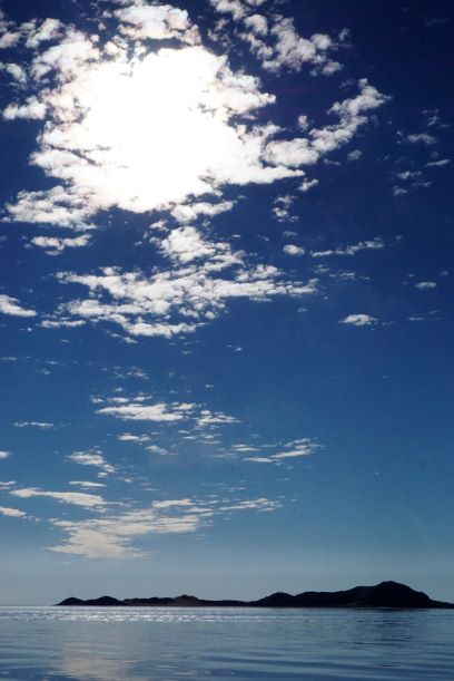
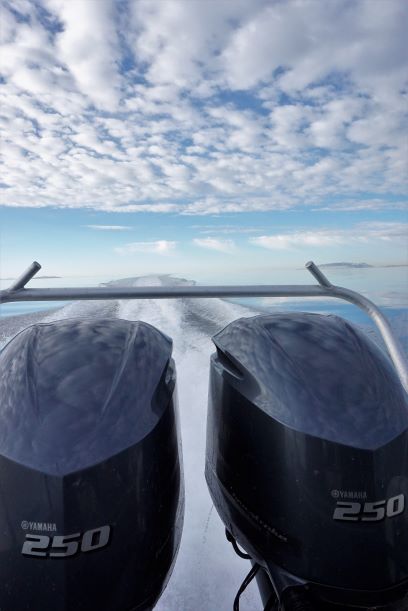
My colleague and boss, Dr. Chris Merritt, had arranged the trip for us to go document the historic Stansbury Expedition triangulation station (~1849) and the historic Alfred Lambourne homestead (~1896). I hope to write more about these two amazing sites in the near future – but time and priorities fail me and instead I’m just posting photos. For me this one-day trip was the height of adventure. Storming across the Lake in a industrial speedboat full of biologists to a remote island was a highlight of my career as an archaeologist. Passing through the Lucin Cutoff railroad bridge into the North Arm of the Great Salt Lake was a surreal experience that fits more in science fiction than reality (read: Solaris).
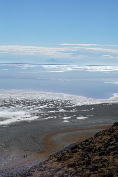
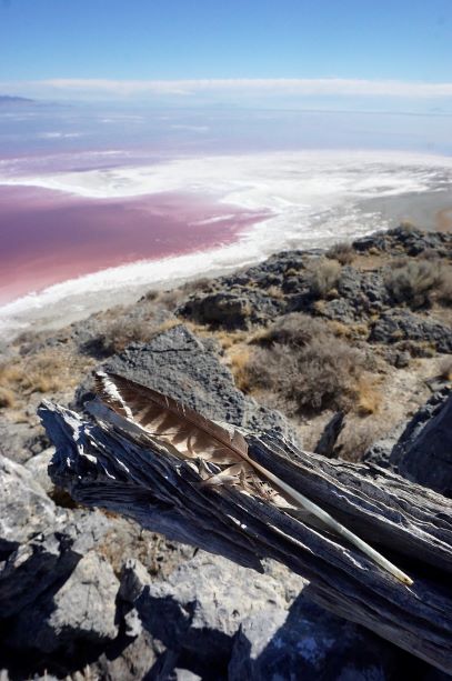
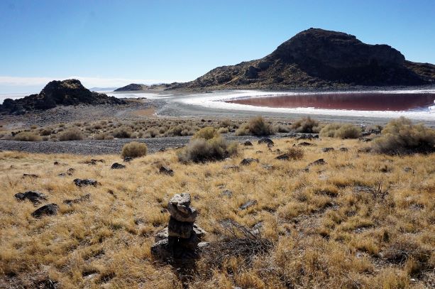
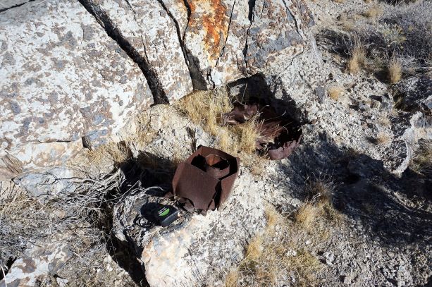
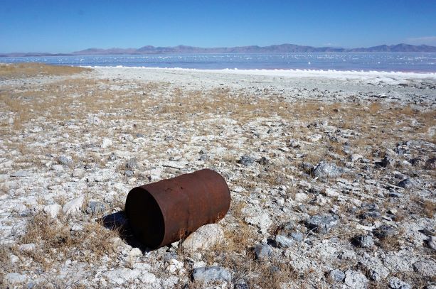
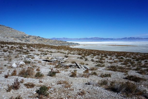
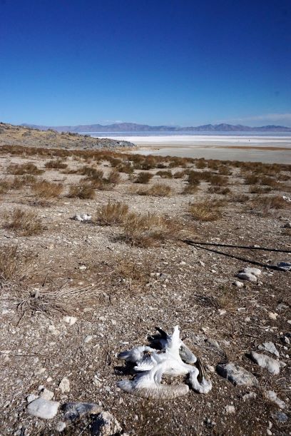
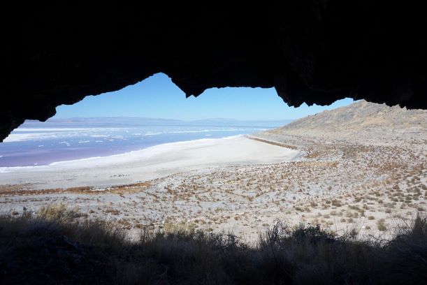
Our time on the Island was incredibly limited – just hours. I sketched and measured the triangulation station as fast as I was able. And then ran as fast as my legs would carry over to Cub Island to document the 1942 strafing destruction. Along the way I passed the salted carcasses of the Island’s true population – the pelican. After running up Cub Island I turned tail and ran over to Chris in Lambourne Bay recording the remains of Alfred Lambourne’s homestead and the temporally related guano sifter shack. All the time keeping my eyes peeled for any hint of an earlier aboriginal presences. With the last minutes of our time Chris and I crossed to the western side of the Island and checked out a small rock shelter and several cairns. Then we doubled back to the north end of the Island to catch our rides back to the homeland.
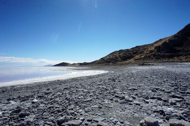
It’s hard to describe the experience in such a surreal and remote land. Viewing the backyard (e.g. Antelope Island, Stansbury Island, Lakeside Range) from an different angle was perfect. Many thanks to Chris Merritt, Jaimi Butler at GSLI, and the DWR crew for letting us tag along. It was truly a once in a career experience for me. Hopefully I’ll have more to write and share soon.
Great Article. I wanted to see pictures and learn about Gunnison Island because I had read “Our Inland Sea.” Thank you!
Thanks so much! I appreciate the comment. I love “Our Inland Sea” and it was crazy to stand where Lambourne did 120 years earlier.
Amazing photos I liked the comparison of the remains of the old expedition compared to now!!
Thank you! It was special to stand up there. So quiet 🙂
I am researching my great grandfather Alfred Lambourne. Thank you for your article and pictures. I’d like to talk with you. Please call. 480 335-9965. James Lambourne.