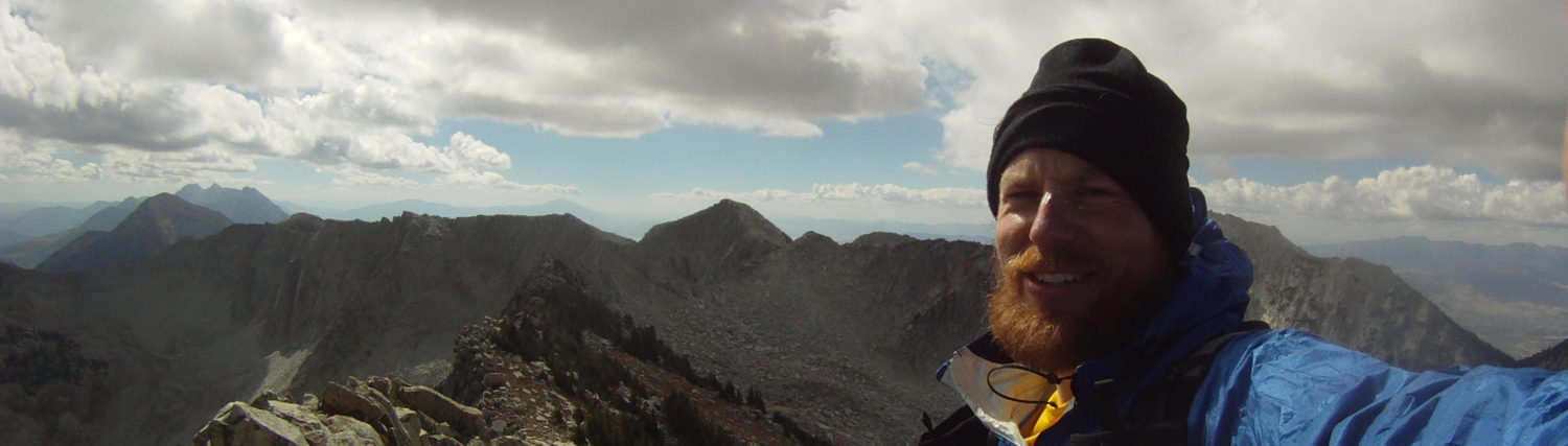
This was from last May. An interesting quick jaunt.
Tucked above the University of Utah is a quaint, scrub oak filled Canyon that is all but closed to the general populace. Red Butte Canyon, with its proximity to historic Fort Douglas and the University, was historically well traveled with old quarries, historic residences, and if I remember correctly, a gunnery range. But within that last few decades(?) access became limited and a fresh fence and gate appeared and the Red Butte Canyon Natural Research Area was born. Hiking, hunting, and presumably running, were all disallowed.
This lack of access led to a blank spot in my personal mental map. The surrounding peaks, Mt. Wire, Little Black Mountain, and Lookout Peak have all offered views into the bowels of Red Butte. But somehow I thought circumnavigating the Red Butte watershed would add some contours to that mental map and satiate the lack of access.
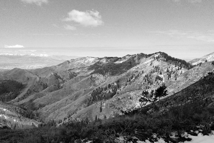
With the Bonneville Shoreline Trail providing easy passage on the west end of the loop I was able to park at the mouth of Emigration Canyon and run north, passing the mouth of Red Butte Canyon en route to Little Black Mountain. I somehow figured the climb up Little Black would be the hardest part of the day, but the scrub oak and scrambling following the peak and Smugglers Notch proved to be the most sustained portion. With a late snowpack I found myself jockeying to either side of the ridgeline (north and south) trying to either avoid or utilize snow travel. Despite the slow travel the area was beautiful and felt strangely remote. The area between Smugglers Notch and the head of Red Butte felt remote with few signs of fellow human travel – despite Salt Lake City dominating the view to the west.
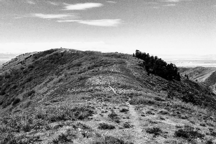
As I eventually wrapped around the head of Red Butte Canyon I was happy to finally be back on a trail – despite certain aspects being under four feet of snow. I wasn’t sure how to link back to the Mt. Wire ridge but found a series of ‘game trails’ departing from the old road that swings across the southwestern head of Red Butte. Side note: I can’t help but wonder about the history of that road.
Just before the final climb up onto Wire Ridge I ran into a pair of hikers who were as surprised to see me and I was them. We briefly chatted and found we were all mid-quest on the same circumnavigation mission. I passed some brief information on to them and them to me. Based on their information I set out to find a freshly cut trail leading up to the east end of Wire Ridge. And within a mile I was back on the familiar terrain of leading out to Mt. Wire. I was happy to salute the old beacon and trundle my way back to the car. Something like 19 miles and 5500′ vert.
Overall, a very satisfying route. There is always something magical about a loop. The only regrets were not wearing pants and not bringing sardines.
Hey, I can’t believe I ran across this, I was one of the hikers you ran into!!! Loving this blog, it’s great stuff.
No way! That was super random and this is even more random(!). If you did any type of write-up or post let me know and I’ll link over. It was a fun random route…
I didn’t do a writeup but my hiking buddy posted this:
https://backcountrypost.com/threads/red-butte-canyon-rim-walk-may-20-2017.6832/
was a pretty killer day, I’d do it again but not real often! Our day was a little shorter than yours since we got picked up at the university hospital too.